Karachi, Pakistan’s southern port city, experienced a 3.2 magnitude earthquake on Monday, with its epicenter located 15km northeast of the city and a depth of 22 kilometers.
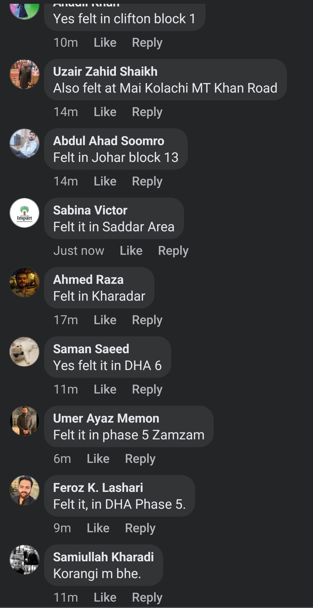
Tremors were felt in various areas including Landhi, Korangi, Clifton, DHA Phase II, Old City area, and II Chundrigarh Road.

Despite the tremors, no damages have been reported so far.
This is the third time in last few weeks that a minor earthquake hit Karachi.
On May 2, a 2.3 magnitude earthquake jolted parts of the metropolis including Gadap Town, Katohar and adjoining areas of Malir district.
The epicentre of the quake was 38 kilometres from the northeast of Malir at a depth of 84km, according to the seismic monitoring centre.
Similarly, a 3.2 magnitude earthquake jolted Karachi’s Malir district on on April 24.
Natural disasters such as earthquakes are not uncommon in Pakistan, as the country is situated on the boundary of the Indian and Eurasian tectonic plates.
Large parts of South Asia are seismically active because a tectonic plate known as the Indian plate is pushing north into the Eurasian plate.


